xxxxxxxxxxxxxxxxxxx Home
Scroll down for more articles and pictures
Stevens Point in Portage County, Wisconsin — The American Midwest (Great Lakes) |
||||||||||||||||||||||||
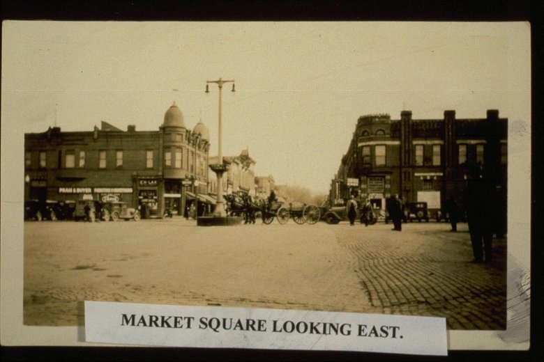
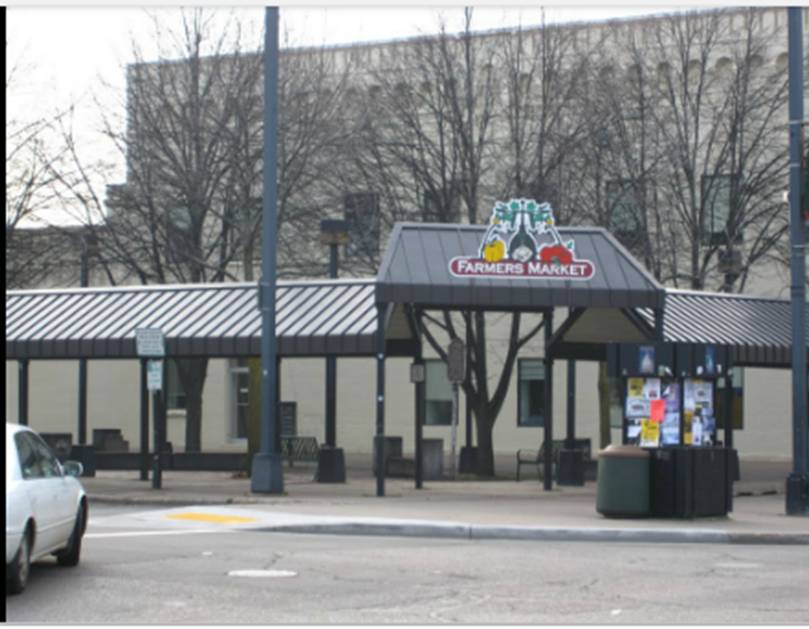
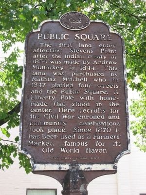
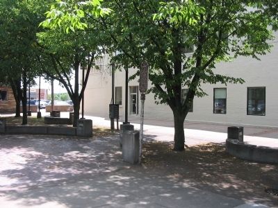
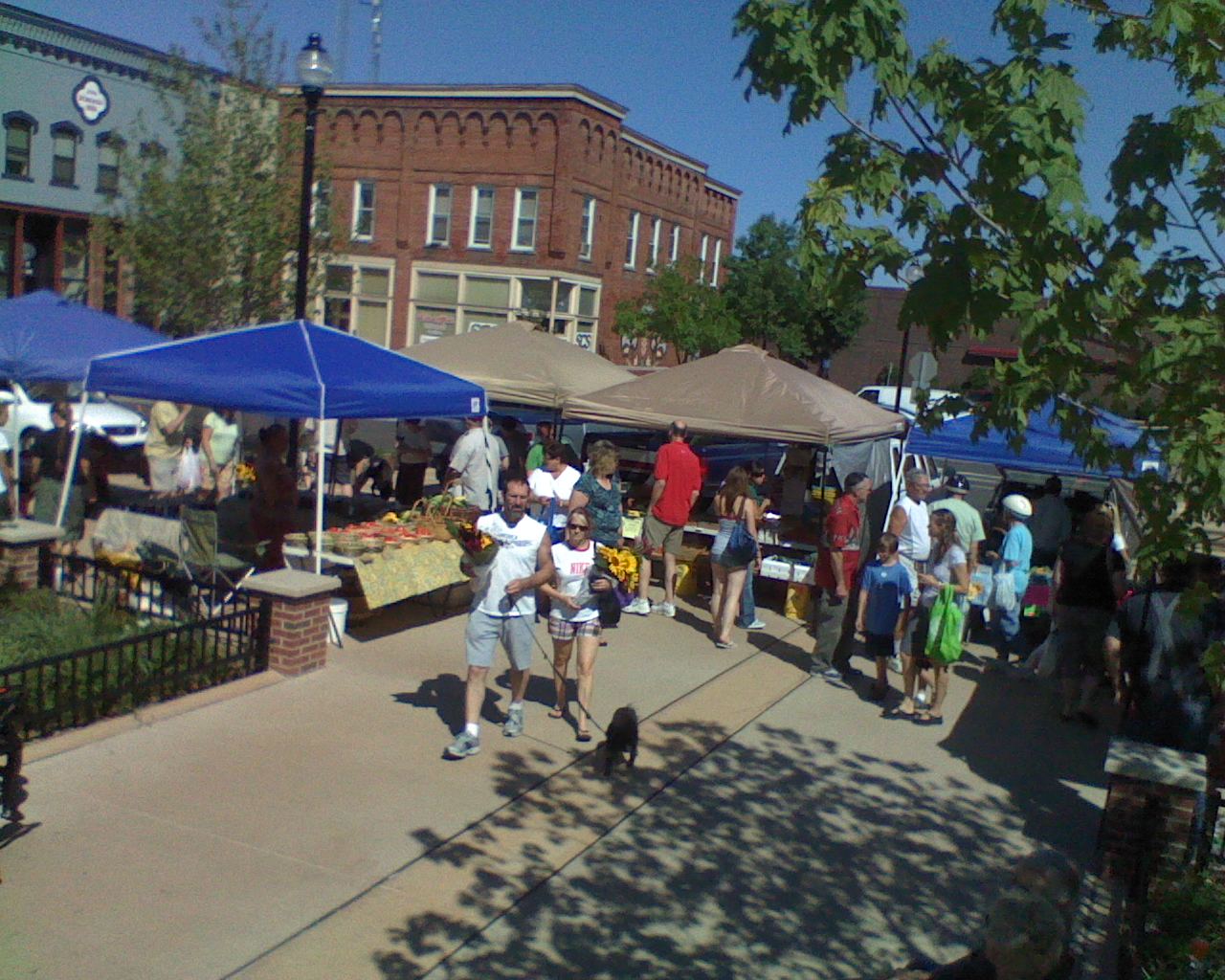
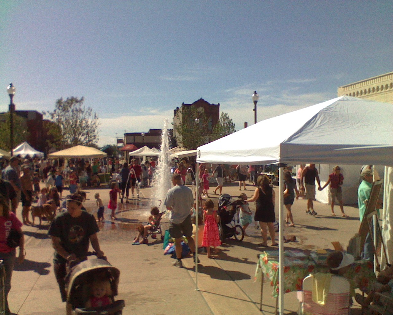
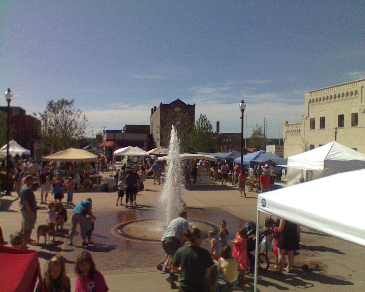
| Public Square | ||||||||||||||||||||||||
Erected 1962 by the Portage County Historical Society. Location. 44° 31.385′ N, 89° 35.162′ W. Marker is in Stevens Point, Wisconsin, in Portage County. Marker can be reached from the intersection of Main Street and Second Street, on the left when traveling west. Click for map. Marker is at the Farmers' Market, southwest of the intersection. Marker is in this post office area: Stevens Point WI 54481, United States of America. Other nearby markers. At least 8 other markers are within walking distance of this marker.Airborne Forces Memorial Bridge (about 500 feet away, in a direct line); First Public Building (about 600 feet away); Stevens Point — Gateway to the Pineries (about 600 feet away); Portage County Civil War Memorial (approx. 0.3 miles away); Saint Peter Church War Memorial (approx. 0.4 miles away); Buttons from the River (approx. 0.6 miles away); The Boy with the Leaking Boot (approx. 0.6 miles away); Veterans World War I Memorial (approx. 0.9 miles away). Click for a list of all markers in Stevens Point.
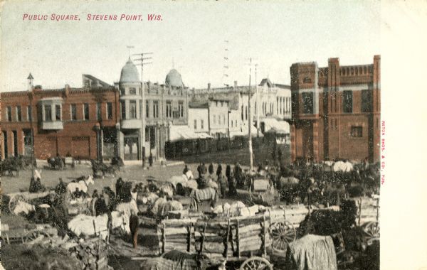
Also see . . . Stevens Point, Wisconsin. "The Stevens Point area, with its history as rich and diverse as the present community today, owes its namesake to George Stevens. After the signing of the 1836 Lumberman's Treaty, a pact made with the Menominee Indians allowing logging and saw milling along the Wisconsin River, Stevens purchased a shack housing logging supplies. Unbeknownst to the business entrepreneur, he had just founded Stevens Point." (Submitted on July 18, 2009.) Credits. This page originally submitted on July 18, 2009, by Keith L of Wisconsin Rapids, Wisconsin. This page has been viewed 425 times since then. Photos: 1, 2. submitted on July 18, 2009, by Keith L of Wisconsin Rapids, Wisconsin. • Craig Swain was the editor who published this page. |
||||||||||||||||||||||||


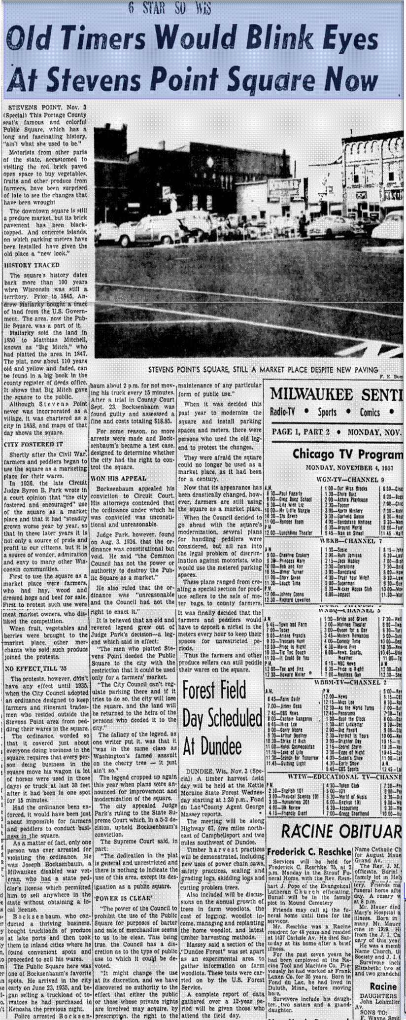
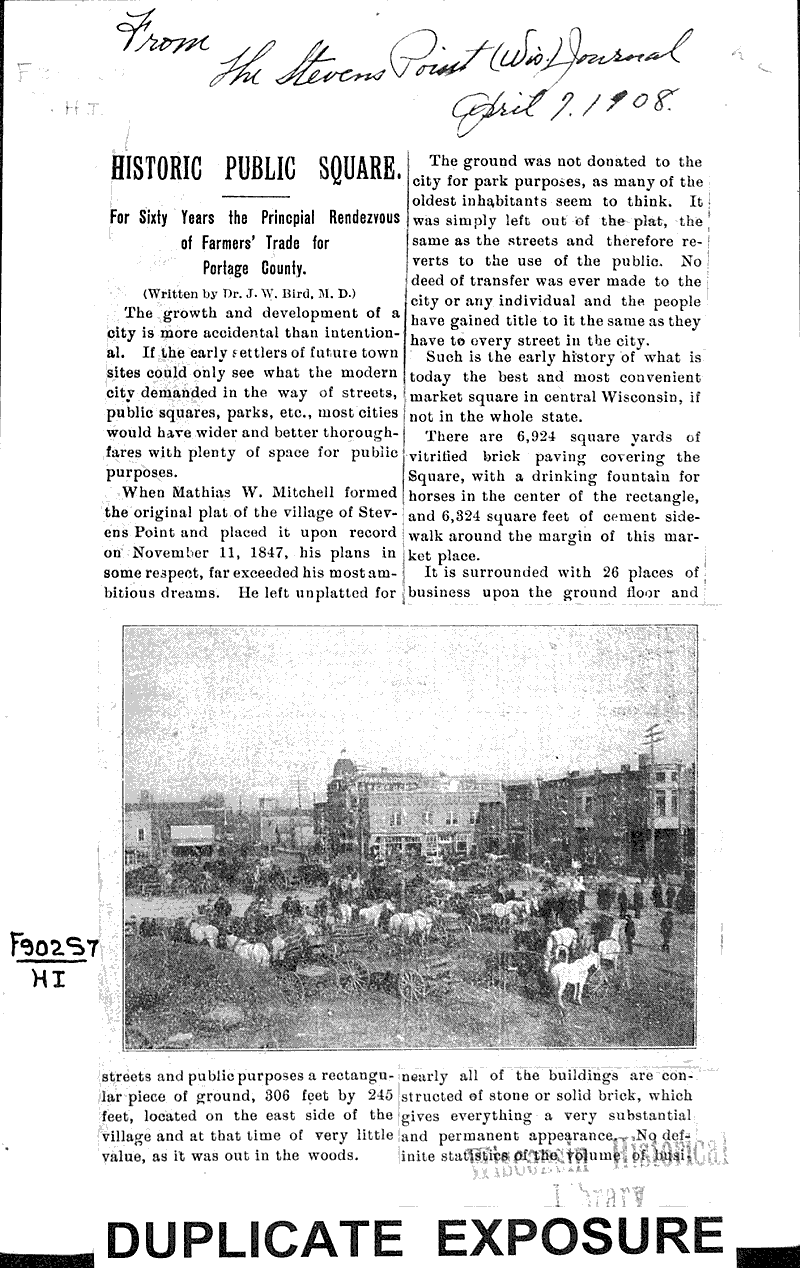
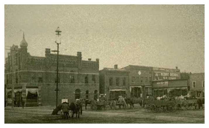
Newspaper article from the Milwaukee Sentinel on November 5, 1957